The Lukomir hike from Umoljani takes you through the Bjelašnica Mountains in Bosnia and Herzegovina, passing rocky mountain trails, open valleys, and viewpoints overlooking the dramatic Rakitnica Canyon before reaching one of the country’s most remote traditional villages.
The hike offers two main routes, via Obalj and Studeni Potok, which can be combined into a circular trail. Along the way, the landscape changes from exposed mountain slopes to rugged limestone terrain and a winding stream valley near Umoljani.
In this guide, you’ll find the hiking routes from Umoljani to Lukomir, parking information, trail difficulty, and practical tips based on our 20.51 km hike, including an unexpected detour on the way to the village.

Distance

Duration

Difficulty

Ascent
634 m
Where Is Lukomir?
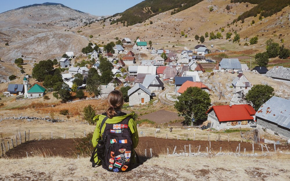
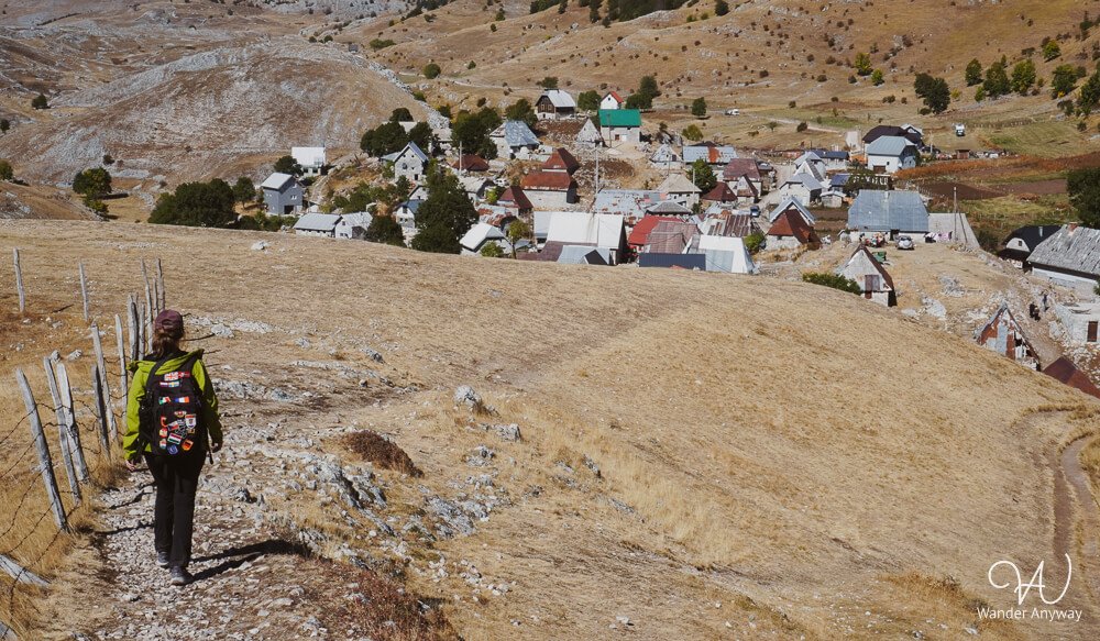
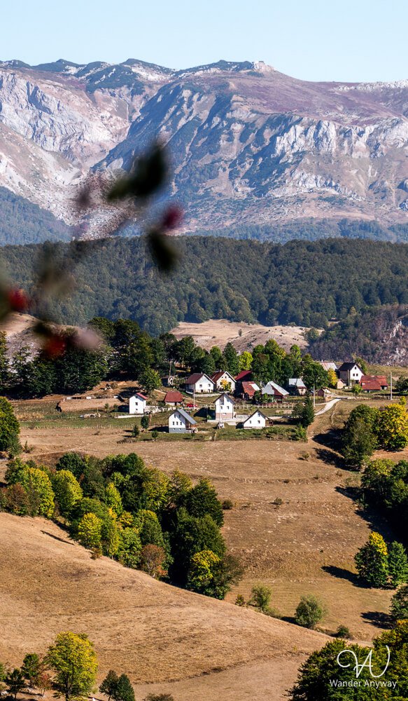
Lukomir is a traditional mountain village in the Bjelašnica Mountains, approximately 50 km southwest of Sarajevo. Situated at 1,495 meters above sea level, it is often described as Bosnia and Herzegovina’s highest inhabited village. Its stone houses and isolated setting reflect the traditional character of the region.
Although Lukomir can be reached by car when road conditions allow, hiking from Umoljani allows you to explore the surrounding mountains on foot.
How to Get to Umoljani and Where to Park
Umoljani is a small mountain village on the Bjelašnica plateau, approximately an hour’s drive from Sarajevo. Driving is the most practical way to reach the hiking starting point, as public transport options are limited. If you’re exploring Bosnia and Herzegovina independently, consider renting a car to visit Umoljani and other mountain destinations around Sarajevo.
We initially planned to park at Koliba Umoljani, but the parking entrance was closed during our October visit. Instead, we drove back a short distance and found a small roadside parking area with space for approximately four or five cars.
We also noticed another parking area near the hiking direction signs while returning through Studeni Potok. Since parking arrangements can change, check the mapped locations and any signs before leaving your car.
Lukomir Hiking Routes: Which One to Choose?
There are two main hiking routes from Umoljani to Lukomir: via Obalj and via Studeni Potok. Both can be completed as out-and-back hikes, or combined into a circular route.
The Obalj route crosses the open mountain terrain of the Bjelašnica plateau, while the Studeni Potok route connects the winding stream valley near Umoljani with rocky mountain paths overlooking Rakitnica Canyon.
Combining the two is a popular option for a full-day hike. We originally planned to hike to Lukomir via Obalj and return through Studeni Potok, but a missed turn changed our outward route.
Our Lukomir Hike: From Umoljani to Lukomir
Hiking from Umoljani to Lukomir
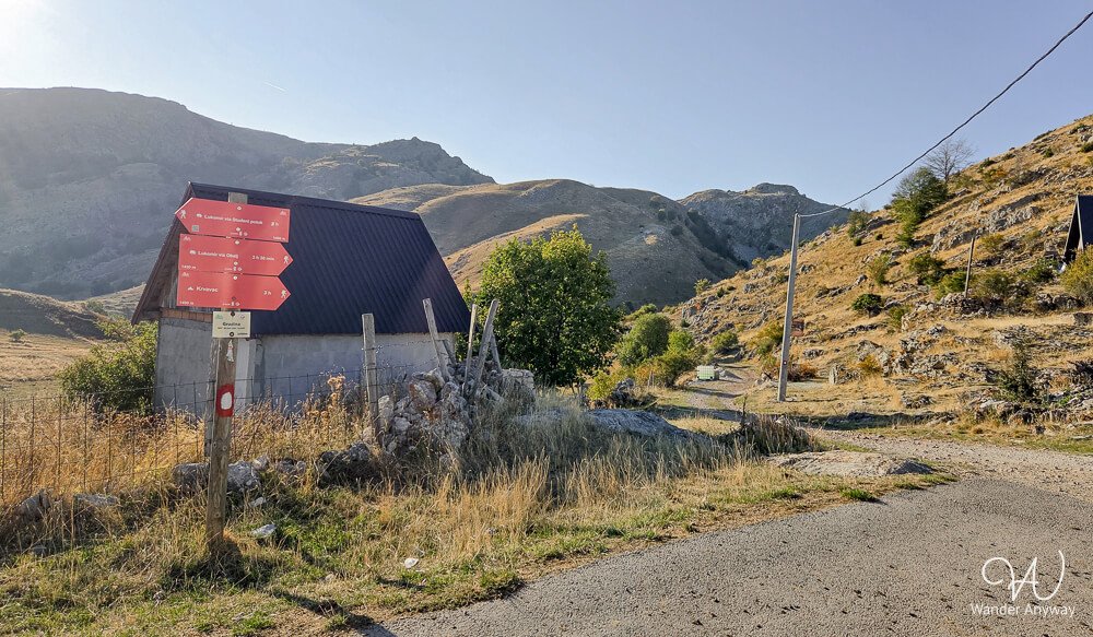
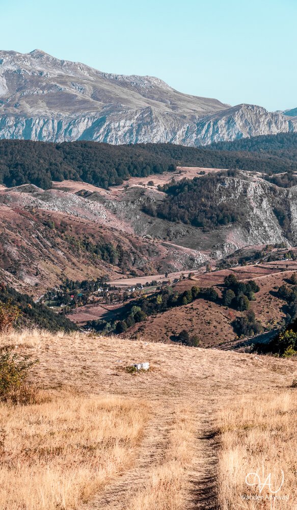
We started our hike from Umoljani towards Obalj, following an unpaved track through the open mountain landscape. However, we missed a left turn along the way and couldn’t find a clear path to reconnect with the trail. After checking our map, we realised we could still reach Lukomir by continuing towards the gravel road used by cars.
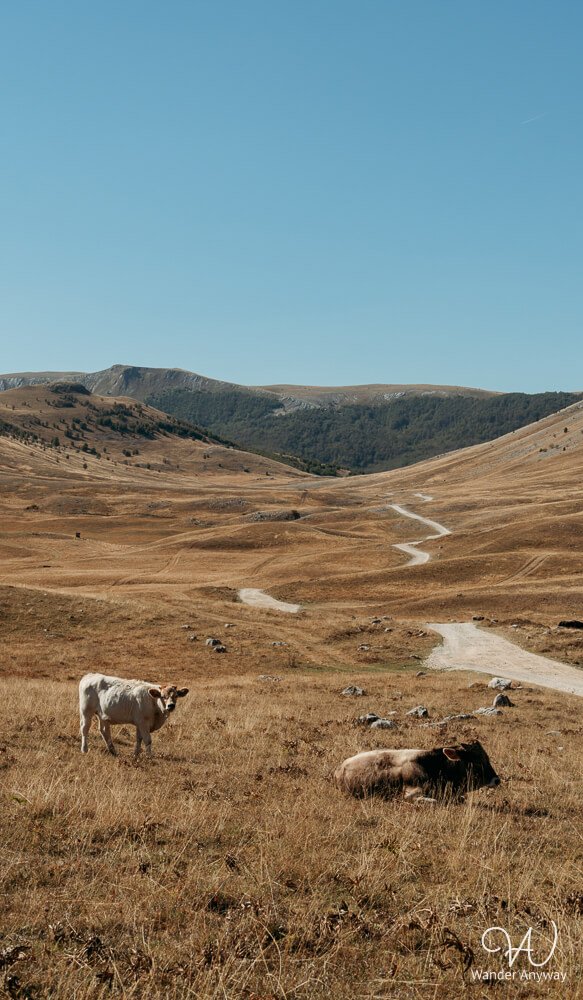
Rather than turning back, we followed the alternative route towards the village. The detour added distance to our hike, and although the surrounding mountain views were impressive, walking along the gravel road was less enjoyable than following a hiking trail.
Eventually, we reached Lukomir and continued with our original plan to return through Studeni Potok.
Exploring Lukomir Village
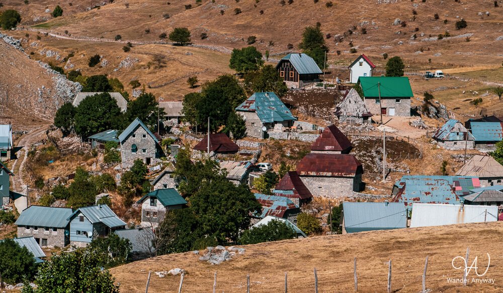
Lukomir is a small mountain village with traditional stone houses set among the highlands of Bjelašnica. Its remote location and mountain surroundings give it a very different atmosphere from the towns and cities of Bosnia and Herzegovina.
During our October visit, we had hoped to stop for a meal in Lukomir, but several restaurants appeared to be closed, and the one we found was full. Rather than waiting, we decided to continue our hike to make sure we had enough daylight to return to Umoljani.
In hindsight, leaving was the right decision, as we still had a long walk back to Umoljani and wanted to finish before dark. If you’re visiting outside the main tourist season, bring your own food rather than relying on restaurants being open.
Returning to Umoljani via Studeni Potok
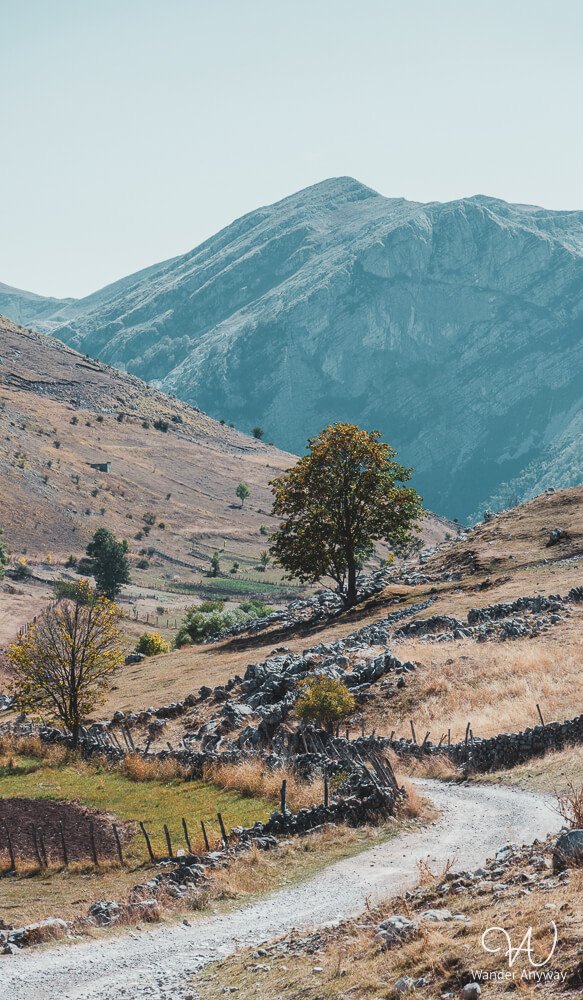
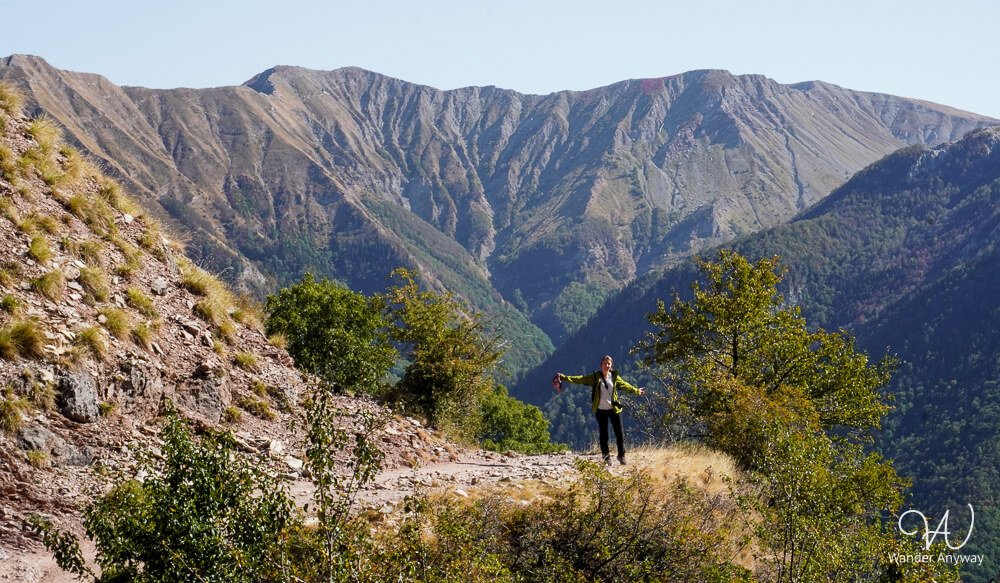
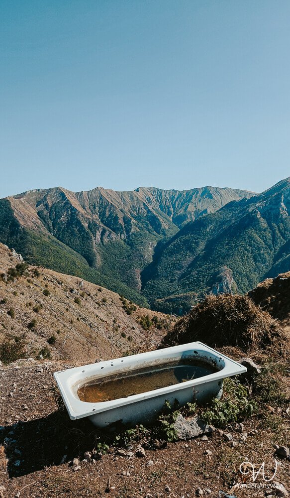
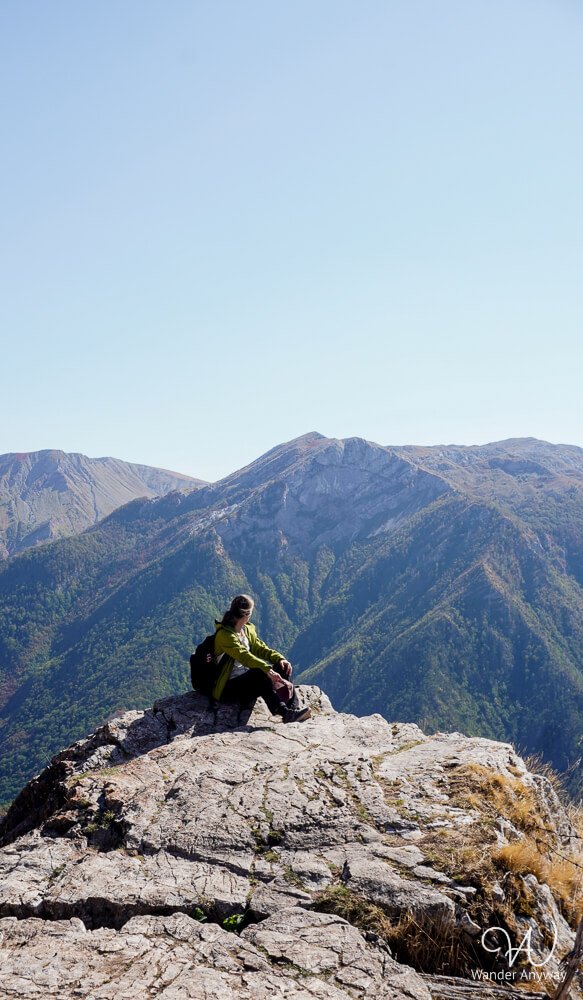
The return hike from Lukomir to Umoljani was the highlight of our day. The first part followed a narrow, rocky mountain trail above Rakitnica Canyon, with views of the steep gorge, forested slopes, and surrounding peaks. The terrain was uneven in places, with loose stones and exposed limestone, but we didn’t find it particularly technical.
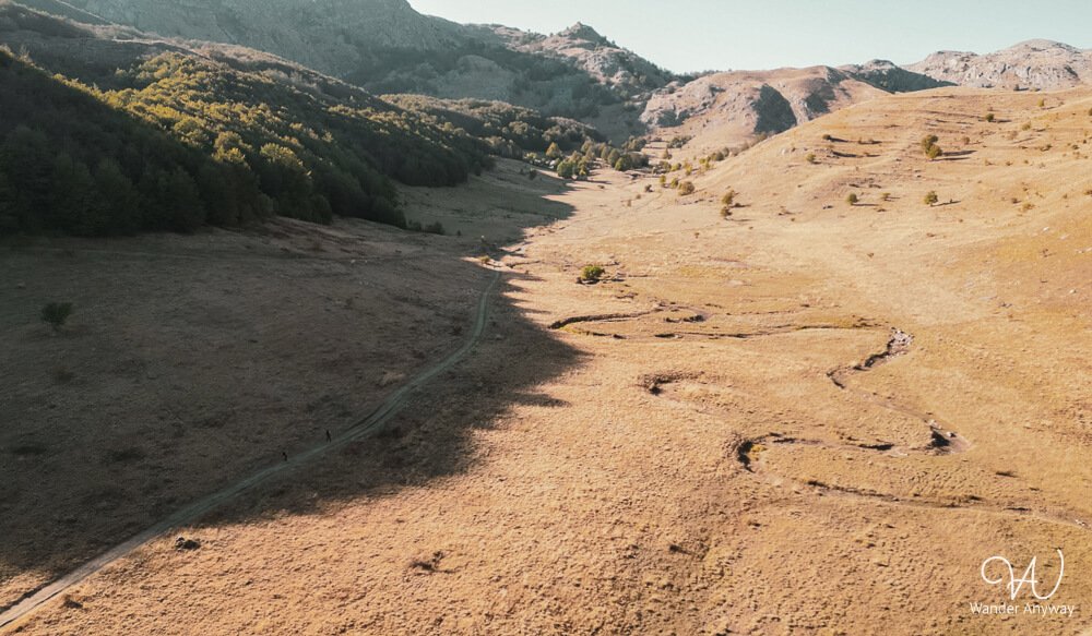
As we continued towards Umoljani, the landscape gradually changed. The rocky slopes gave way to more open terrain, eventually leading to the Studeni Potok valley, known for its distinctive meandering stream.
During our October visit, the streambed was completely dry, but its winding curves were still clearly visible across the grassy valley. It was an interesting contrast to the rugged canyon scenery earlier in the hike.
Compared with the gravel road on our outward journey, this section was much more varied and enjoyable. I would definitely recommend including it when planning a hike between Umoljani and Lukomir.
How Difficult Is the Lukomir Hike?
The Lukomir hike is moderately challenging, mainly because of its distance rather than technical difficulty. Our 20.51 km route took approximately seven hours, including stops, with a moving time of around five hours and 25 minutes.
The return route included narrow mountain paths, loose stones, rocky sections, and elevation changes. Although we didn’t encounter any particularly technical obstacles, the uneven terrain required attention, especially along the slopes above Rakitnica Canyon.
A full-day hike of this length requires reasonable fitness, suitable hiking shoes, and enough time to complete the route safely.
Best Time to Hike to Lukomir
The best time to hike to Lukomir is generally from June to September, when the mountain trails are more accessible, and the weather is usually more suitable for hiking. Spring and autumn can also be rewarding, although conditions are less predictable.
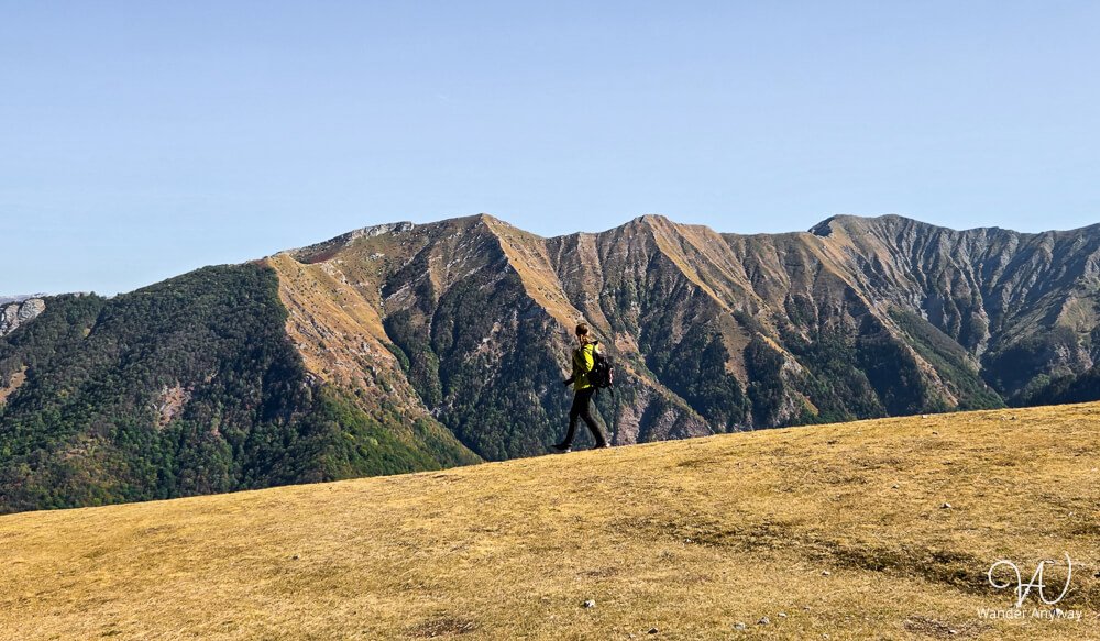
We visited in October and enjoyed the autumn scenery. The dry, golden hillsides contrasted with the rocky mountains and forested slopes around Rakitnica Canyon. However, shorter daylight hours made an early start particularly important.
In winter, snow can make the hiking trails and access roads difficult or inaccessible.
Practical Tips for Hiking to Lukomir
- Download an offline hiking map. Some trail junctions can be easy to miss, as we experienced on the Obalj route. A reliable GPS track will help you stay on course.
- Stay on established trails. Bosnia and Herzegovina still has areas affected by landmines, so avoid shortcuts across unfamiliar terrain and follow current local safety guidance.
- Bring food and water. Restaurants in Lukomir may have limited opening hours, especially outside the main tourist season.
- Start early. Allow enough daylight to complete the hike and explore the village, particularly in autumn.
- Wear proper hiking shoes. Expect narrow paths, loose stones, exposed limestone, and uneven rocky terrain.
- Check the weather. Mountain conditions can change quickly, so bring layers and rain protection.
- Consider a local guide. If you prefer not to hike independently, you can book a guided Lukomir day trip from Sarajevo. Alternatively, rent a car and drive to Umoljani to start the hike yourself.
Frequently Asked Questions About the Lukomir Hike
How Long Is the Hike from Umoljani to Lukomir?
The distance depends on your chosen route and starting point. Our hike, which included a detour along the gravel road and a return via Studeni Potok, measured 20.51 km. The standard Obalj and Studeni Potok loop follows a different route, so its total distance will vary.
Can You Hike to Lukomir Without a Guide?
Yes, experienced hikers can complete the route independently with suitable navigation and preparation. However, some trail junctions can be easy to miss, so download an offline GPS track and stay on established paths.
Can You Drive to Lukomir?
Yes, Lukomir can be reached by gravel road when weather and road conditions allow. However, the road may be rough, so check its condition and your vehicle’s suitability before driving. We walked part of this road rather than driving it, and preferred the hiking trail on our return.
Is the Lukomir Hike Worth It?
Yes, especially if you enjoy longer mountain hikes. Lukomir is an interesting destination, but the journey offers much more than a visit to the village. For us, the variety of terrain and the return through Studeni Potok made the experience worthwhile.
Final Thoughts
The Lukomir hike from Umoljani was a memorable experience, especially the return route through the rocky mountain trails above Rakitnica Canyon and the Studeni Potok valley.
If I were planning the hike again, I would pay closer attention to the Obalj turnoff and make sure a reliable offline GPS track was ready before starting. Although our route didn’t go entirely as planned, I would definitely choose the Studeni Potok trail again. It was the highlight of our hike and made the long day worthwhile.